Top marks for the planners
Introduction
The photograph on this page of Top marks for the planners by Michael Wilson as part of the Geograph project.
The Geograph project started in 2005 with the aim of publishing, organising and preserving representative images for every square kilometre of Great Britain, Ireland and the Isle of Man.

There are currently over 7.5m images from over 14,400 individuals and you can help contribute to the project by visiting https://www.geograph.org.uk
Top marks for the planners
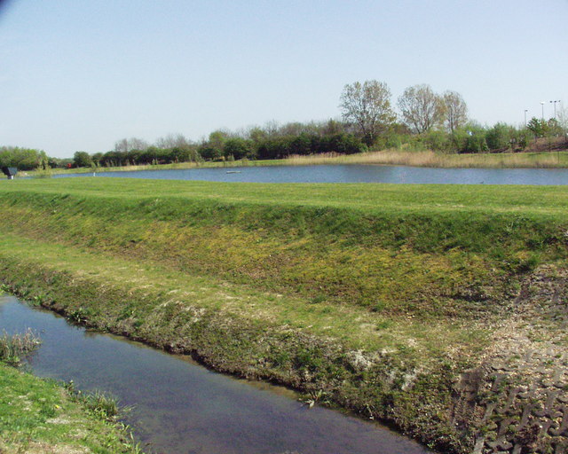
Image: © Michael Wilson Taken: 19 Apr 2007
This area is surrounded by ugly out of town retail units.At least someone has developed this lovely water area to soften the area.
Images are licensed for reuse under creativecommons.org/licenses/by-sa/2.0
Image Location
Latitude
52.104048
Longitude
-0.502379