Hollow Hill Lane
Introduction
The photograph on this page of Hollow Hill Lane by Bikeboy as part of the Geograph project.
The Geograph project started in 2005 with the aim of publishing, organising and preserving representative images for every square kilometre of Great Britain, Ireland and the Isle of Man.

There are currently over 7.5m images from over 14,400 individuals and you can help contribute to the project by visiting https://www.geograph.org.uk
Hollow Hill Lane
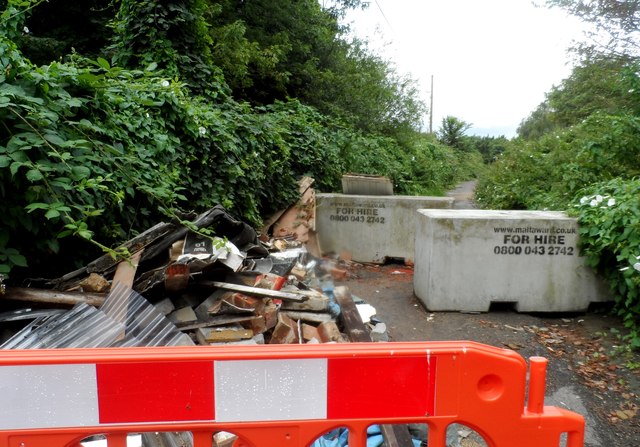
Image: © Bikeboy Taken: 13 Jul 2014
Marked as a minor road on the O.S. map but it has been closed to traffic by the large concrete blocks. It barely seems wide enough for a car to pass regardless. A lot of building waste has also been dumped here.
Images are licensed for reuse under creativecommons.org/licenses/by-sa/2.0
Image Location
Latitude
51.511235
Longitude
-0.52955