Footpath to Badingham
Introduction
The photograph on this page of Footpath to Badingham by Robert Edwards as part of the Geograph project.
The Geograph project started in 2005 with the aim of publishing, organising and preserving representative images for every square kilometre of Great Britain, Ireland and the Isle of Man.

There are currently over 7.5m images from over 14,400 individuals and you can help contribute to the project by visiting https://www.geograph.org.uk
Footpath to Badingham
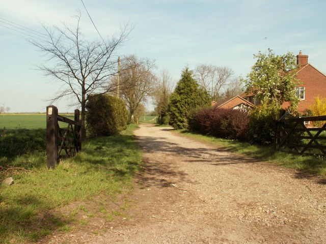
Image: © Robert Edwards Taken: 19 Apr 2007
This footpath follows the course of a Roman Road and eventually meets the A.1120, which, at that point, continues to Peasenhall as the present modern day road.
Images are licensed for reuse under creativecommons.org/licenses/by-sa/2.0
Image Location
Latitude
52.247501
Longitude
1.355276