Access road to Ty'r Sais Farm
Introduction
The photograph on this page of Access road to Ty'r Sais Farm by Jaggery as part of the Geograph project.
The Geograph project started in 2005 with the aim of publishing, organising and preserving representative images for every square kilometre of Great Britain, Ireland and the Isle of Man.

There are currently over 7.5m images from over 14,400 individuals and you can help contribute to the project by visiting https://www.geograph.org.uk
Access road to Ty'r Sais Farm
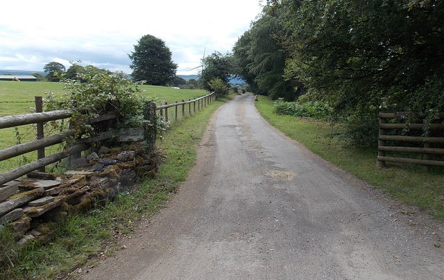
Image: © Jaggery Taken: 13 Jul 2014
The farm buildings are about 200 metres ahead. The farm's Welsh name means Saxon's House or Englishman's House. Out of shot, a public footpath sign points along this road.
Images are licensed for reuse under creativecommons.org/licenses/by-sa/2.0
Image Location
Latitude
51.699777
Longitude
-3.176342