Ruin
Introduction
The photograph on this page of Ruin by Alan Walker as part of the Geograph project.
The Geograph project started in 2005 with the aim of publishing, organising and preserving representative images for every square kilometre of Great Britain, Ireland and the Isle of Man.

There are currently over 7.5m images from over 14,400 individuals and you can help contribute to the project by visiting https://www.geograph.org.uk
Ruin
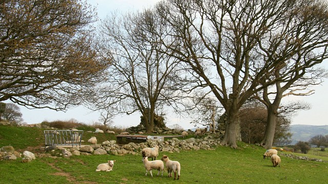
Image: © Alan Walker Taken: 8 Apr 2007
This photograph was taken from near the north-western end of a public footpath that connects the B5279 (right) with the B5106 (left) to the north of Ty’n-y-groes. The footpath is part of a walk that leads from St Mary, Caer Rhun to Ty’n-y-groes and back via Pontwgan. The stones between the trees are from a ruined building, but whether this was a barn or some other structure it was impossible to say. To join the walk, click here Image To go to the start of the walk, click here Image
Images are licensed for reuse under creativecommons.org/licenses/by-sa/2.0
Image Location
Latitude
53.233978
Longitude
-3.833035