Unnamed street in Mon Bank, Newport
Introduction
The photograph on this page of Unnamed street in Mon Bank, Newport by Jaggery as part of the Geograph project.
The Geograph project started in 2005 with the aim of publishing, organising and preserving representative images for every square kilometre of Great Britain, Ireland and the Isle of Man.

There are currently over 7.5m images from over 14,400 individuals and you can help contribute to the project by visiting https://www.geograph.org.uk
Unnamed street in Mon Bank, Newport
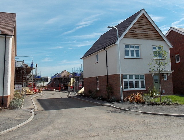
Image: © Jaggery Taken: 12 Jul 2014
In July 2014 this part of the Redrow Homes Mon Bank development on former railway land was not yet named. The street is a few metres east of Downton Hall Close. http://www.geograph.org.uk/photo/4071185
Images are licensed for reuse under creativecommons.org/licenses/by-sa/2.0
Image Location
Latitude
51.57514
Longitude
-3.003418