What's The Story?
Introduction
The photograph on this page of What's The Story? by Robert Ashby as part of the Geograph project.
The Geograph project started in 2005 with the aim of publishing, organising and preserving representative images for every square kilometre of Great Britain, Ireland and the Isle of Man.
There are currently over 7.5m images from over 14,400 individuals and you can help contribute to the project by visiting https://www.geograph.org.uk

Image: © Robert Ashby Taken: 13 Jul 2014
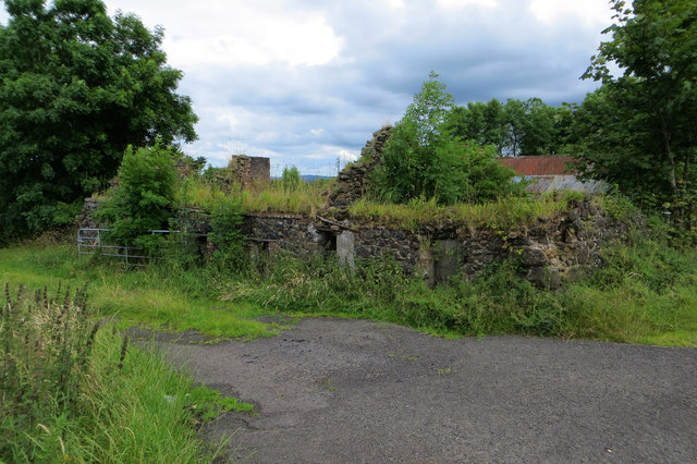
An old stone cottage moulders away as nature takes over. I come across these ruined dwellings quite a lot when out on cycle rides and wonder about their history and the people who originally lived there. Some of them must go back to the days of the Irish famine of 1845-1852. Perhaps the descendants of the former occupiers of this one, located on Glebe Road, are now millionaires in America, the land of opportunity, where most of the famine victims who managed to emigrate ended up. Or most likely not.

