Pickering's Cut on the Weaver Navigation
Introduction
The photograph on this page of Pickering's Cut on the Weaver Navigation by Jeff Buck as part of the Geograph project.
The Geograph project started in 2005 with the aim of publishing, organising and preserving representative images for every square kilometre of Great Britain, Ireland and the Isle of Man.

There are currently over 7.5m images from over 14,400 individuals and you can help contribute to the project by visiting https://www.geograph.org.uk
Pickering's Cut on the Weaver Navigation
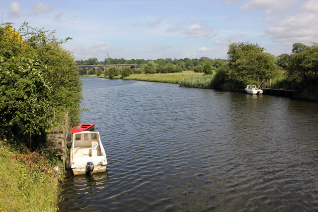
Image: © Jeff Buck Taken: 9 Jul 2014
The original course of the River Weaver flows just below to the south of this cutting. In the distance can be seen the Dutton Railway Viaduct. Wikipedia http://en.wikipedia.org/wiki/River_Weaver
Images are licensed for reuse under creativecommons.org/licenses/by-sa/2.0
Image Location
Latitude
53.28197
Longitude
-2.636941