Ferryhill Station
Introduction
The photograph on this page of Ferryhill Station by Stanley Howe as part of the Geograph project.
The Geograph project started in 2005 with the aim of publishing, organising and preserving representative images for every square kilometre of Great Britain, Ireland and the Isle of Man.

There are currently over 7.5m images from over 14,400 individuals and you can help contribute to the project by visiting https://www.geograph.org.uk
Ferryhill Station
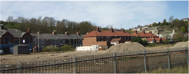
Image: © Stanley Howe Taken: 17 Apr 2007
A community at the south end of the Ferryhill Gap, through which the East Coast Main Line passes.
Images are licensed for reuse under creativecommons.org/licenses/by-sa/2.0
Image Location
Latitude
54.678915
Longitude
-1.531606