Tumbledown farmhouse
Introduction
The photograph on this page of Tumbledown farmhouse by Robert Ashby as part of the Geograph project.
The Geograph project started in 2005 with the aim of publishing, organising and preserving representative images for every square kilometre of Great Britain, Ireland and the Isle of Man.

There are currently over 7.5m images from over 14,400 individuals and you can help contribute to the project by visiting https://www.geograph.org.uk
Tumbledown farmhouse
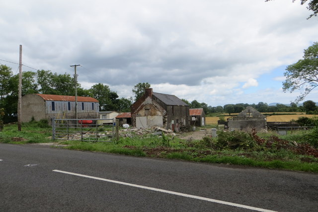
Image: © Robert Ashby Taken: 13 Jul 2014
Farmhouse on the Glebe Road which is either falling down or preparing for some serious renovation work. Hard to say at this point.
Images are licensed for reuse under creativecommons.org/licenses/by-sa/2.0
Image Location
Latitude
54.813801
Longitude
-6.354757