Infants School/Community Centre
Introduction
The photograph on this page of Infants School/Community Centre by Adrian Dust as part of the Geograph project.
The Geograph project started in 2005 with the aim of publishing, organising and preserving representative images for every square kilometre of Great Britain, Ireland and the Isle of Man.

There are currently over 7.5m images from over 14,400 individuals and you can help contribute to the project by visiting https://www.geograph.org.uk
Infants School/Community Centre
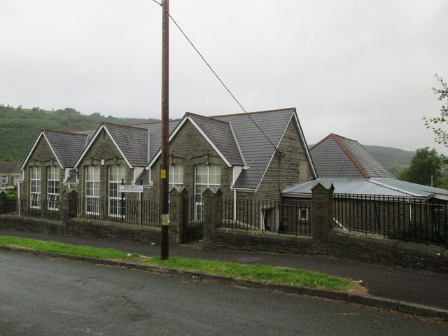
Image: © Adrian Dust Taken: 14 Jul 2014
There is an Ordnance Survey cut mark on the east face. http://www.geograph.org.uk/photo/4070913
Images are licensed for reuse under creativecommons.org/licenses/by-sa/2.0
Image Location
Latitude
51.730239
Longitude
-3.748527