Craobh Haven
Introduction
The photograph on this page of Craobh Haven by Stuart Wilding as part of the Geograph project.
The Geograph project started in 2005 with the aim of publishing, organising and preserving representative images for every square kilometre of Great Britain, Ireland and the Isle of Man.

There are currently over 7.5m images from over 14,400 individuals and you can help contribute to the project by visiting https://www.geograph.org.uk
Craobh Haven
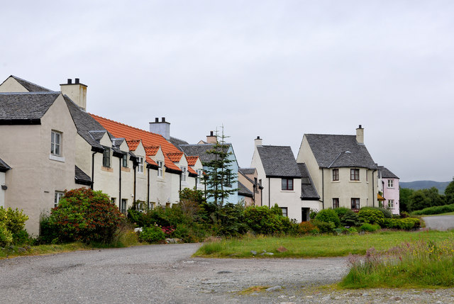
Image: © Stuart Wilding Taken: 24 Jun 2014
Craobh Haven (pronounced Croove Haven) was built in 1983 as a holiday resort village and marina.
Images are licensed for reuse under creativecommons.org/licenses/by-sa/2.0
Image Location
Latitude
56.210306
Longitude
-5.556031