Walk Farm Lane, Irby
Introduction
The photograph on this page of Walk Farm Lane, Irby by John Beal as part of the Geograph project.
The Geograph project started in 2005 with the aim of publishing, organising and preserving representative images for every square kilometre of Great Britain, Ireland and the Isle of Man.

There are currently over 7.5m images from over 14,400 individuals and you can help contribute to the project by visiting https://www.geograph.org.uk
Walk Farm Lane, Irby
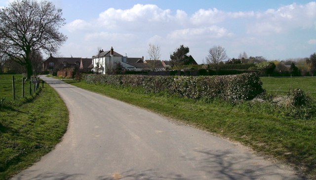
Image: © John Beal Taken: 5 Apr 2007
A quiet entrance to Irby-upon-Humber, the lane curves away to the rear of the photographer and forms one of many bridleways in the area.
Images are licensed for reuse under creativecommons.org/licenses/by-sa/2.0
Image Location


Leaflet Map data © OpenStreetMap
Latitude
53.524372
Longitude
-0.19133