Worple Way, Richmond
Introduction
The photograph on this page of Worple Way, Richmond by Stefan Czapski as part of the Geograph project.
The Geograph project started in 2005 with the aim of publishing, organising and preserving representative images for every square kilometre of Great Britain, Ireland and the Isle of Man.

There are currently over 7.5m images from over 14,400 individuals and you can help contribute to the project by visiting https://www.geograph.org.uk
Worple Way, Richmond
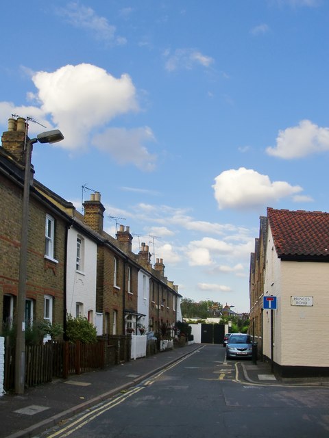
Image: © Stefan Czapski Taken: 13 Jul 2014
One of a number of cottagey back doubles in this area. The street comes to a dead end, but the name then applies to a passageway that continues to King's Road and beyond. The name Worple Way suggests a medieval origin, as a track leading to the parish's open fields.
Images are licensed for reuse under creativecommons.org/licenses/by-sa/2.0
Image Location
Latitude
51.46174
Longitude
-0.294338