Scrub Holt Farm
Introduction
The photograph on this page of Scrub Holt Farm by John Beal as part of the Geograph project.
The Geograph project started in 2005 with the aim of publishing, organising and preserving representative images for every square kilometre of Great Britain, Ireland and the Isle of Man.

There are currently over 7.5m images from over 14,400 individuals and you can help contribute to the project by visiting https://www.geograph.org.uk
Scrub Holt Farm
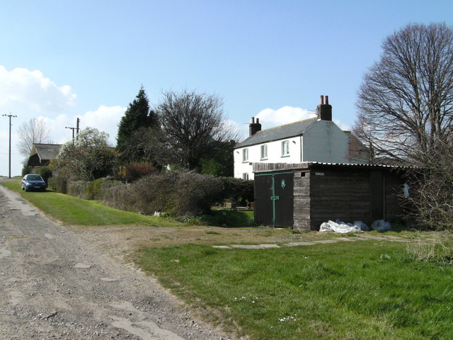
Image: © John Beal Taken: 5 Apr 2007
The rough-looking trackway to the left forms the bridleway to Irby, which climbs for most of its length. Out of sight to the right is a camping/caravanning area.
Images are licensed for reuse under creativecommons.org/licenses/by-sa/2.0
Image Location


Leaflet Map data © OpenStreetMap
Latitude
53.527057
Longitude
-0.172809