Lorries on the A500
Introduction
The photograph on this page of Lorries on the A500 by Espresso Addict as part of the Geograph project.
The Geograph project started in 2005 with the aim of publishing, organising and preserving representative images for every square kilometre of Great Britain, Ireland and the Isle of Man.

There are currently over 7.5m images from over 14,400 individuals and you can help contribute to the project by visiting https://www.geograph.org.uk
Lorries on the A500
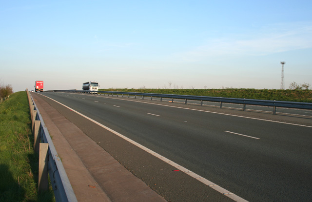
Image: © Espresso Addict Taken: 4 Apr 2007
The new route of the busy A500 dual carriageway, ascending the bridge over the Crewe-to-Stafford railway line. View from the embankment on the former route of the public footpath from Gresty Road to Basford (now diverted to go under the bridge)
Images are licensed for reuse under creativecommons.org/licenses/by-sa/2.0
Image Location
Latitude
53.070149
Longitude
-2.423968