Dere Street - south-east
Introduction
The photograph on this page of Dere Street - south-east by Jonathan Billinger as part of the Geograph project.
The Geograph project started in 2005 with the aim of publishing, organising and preserving representative images for every square kilometre of Great Britain, Ireland and the Isle of Man.

There are currently over 7.5m images from over 14,400 individuals and you can help contribute to the project by visiting https://www.geograph.org.uk
Dere Street - south-east
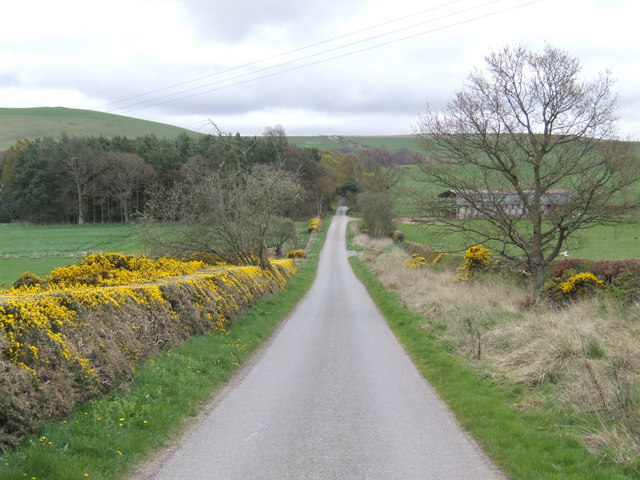
Image: © Jonathan Billinger Taken: 19 Apr 2007
A metalled section of the Roman Road looking towards Shibden Hill. Dere Street was constructed in the late 1st century AD to link the legionary fortress of York (Eburacum) and Inchtuthil, near Perth, via Durham. Long after the Romans had withdrawn from Britain, this remained the principal north-south route for medieval armies, such as the 6th century warriors of the Gododdin and the armies of Edward I in the Wars of Independence.
Images are licensed for reuse under creativecommons.org/licenses/by-sa/2.0
Image Location
Latitude
55.471391
Longitude
-2.446997