Manmoel boundary sign
Introduction
The photograph on this page of Manmoel boundary sign by Jaggery as part of the Geograph project.
The Geograph project started in 2005 with the aim of publishing, organising and preserving representative images for every square kilometre of Great Britain, Ireland and the Isle of Man.

There are currently over 7.5m images from over 14,400 individuals and you can help contribute to the project by visiting https://www.geograph.org.uk
Manmoel boundary sign
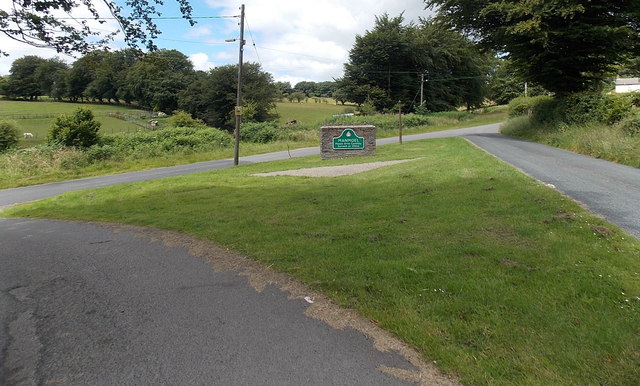
Image: © Jaggery Taken: 13 Jul 2014
Located inside a grass triangle at a road junction on the north side of the main part of the small village in the County Borough of Caerphilly. The elevation here is about 360 metres (c1,180 ft) above sea level. http://www.geograph.org.uk/photo/4069552 to a closeup view of the boundary sign.
Images are licensed for reuse under creativecommons.org/licenses/by-sa/2.0
Image Location
Latitude
51.724828
Longitude
-3.188865