Bunkers on Thorpeness Golf Club
Introduction
The photograph on this page of Bunkers on Thorpeness Golf Club by David Smith as part of the Geograph project.
The Geograph project started in 2005 with the aim of publishing, organising and preserving representative images for every square kilometre of Great Britain, Ireland and the Isle of Man.

There are currently over 7.5m images from over 14,400 individuals and you can help contribute to the project by visiting https://www.geograph.org.uk
Bunkers on Thorpeness Golf Club
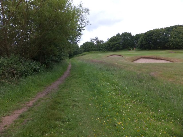
Image: © David Smith Taken: 18 Jun 2014
A footpath runs between the course and the Meare in the woodland on the left
Images are licensed for reuse under creativecommons.org/licenses/by-sa/2.0
Image Location
Latitude
52.182381
Longitude
1.602189