Bagslate Moor
Introduction
The photograph on this page of Bagslate Moor by Rude Health as part of the Geograph project.
The Geograph project started in 2005 with the aim of publishing, organising and preserving representative images for every square kilometre of Great Britain, Ireland and the Isle of Man.

There are currently over 7.5m images from over 14,400 individuals and you can help contribute to the project by visiting https://www.geograph.org.uk
Bagslate Moor
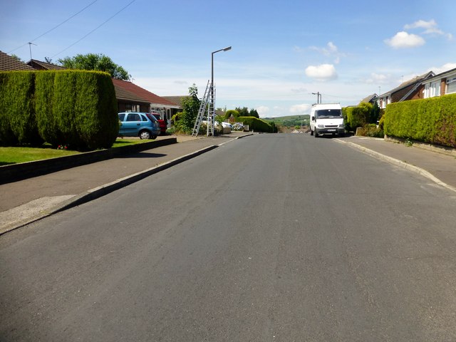
Image: © Rude Health Taken: 10 Jul 2014
Bagslate Moor summit is on Shelfield Lane between number 97 or 99. Thankfully a window clearer left a ladder beside a lamp post so that I could make sure my head was well above this TuMP summit. Name: Bagslate Moor Hill number: 16752 Height: 203m / 666ft Parent (Ma/M): 2817 Hail Storm Hill Area: 36: Lancashire, Cheshire & the Southern Pennines Class: 2 Grid ref: SD864141 (est) Drop: 36m Col: 167m
Images are licensed for reuse under creativecommons.org/licenses/by-sa/2.0
Image Location
Latitude
53.623528
Longitude
-2.20664