40 Friar Lane, Nottingham
Introduction
The photograph on this page of 40 Friar Lane, Nottingham by Stephen Richards as part of the Geograph project.
The Geograph project started in 2005 with the aim of publishing, organising and preserving representative images for every square kilometre of Great Britain, Ireland and the Isle of Man.

There are currently over 7.5m images from over 14,400 individuals and you can help contribute to the project by visiting https://www.geograph.org.uk
40 Friar Lane, Nottingham
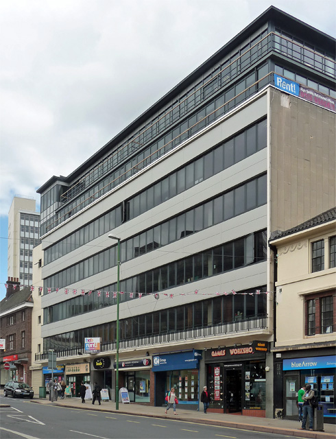
Image: © Stephen Richards Taken: 18 Jun 2012
A 1960s/1970s office block, shops at ground floor and later upper storeys. It now goes by the name, 'The Hub'.
Images are licensed for reuse under creativecommons.org/licenses/by-sa/2.0
Image Location
Latitude
52.952193
Longitude
-1.15216