Henry's Moat
Introduction
The photograph on this page of Henry's Moat by Glyn Baker as part of the Geograph project.
The Geograph project started in 2005 with the aim of publishing, organising and preserving representative images for every square kilometre of Great Britain, Ireland and the Isle of Man.

There are currently over 7.5m images from over 14,400 individuals and you can help contribute to the project by visiting https://www.geograph.org.uk
Henry's Moat
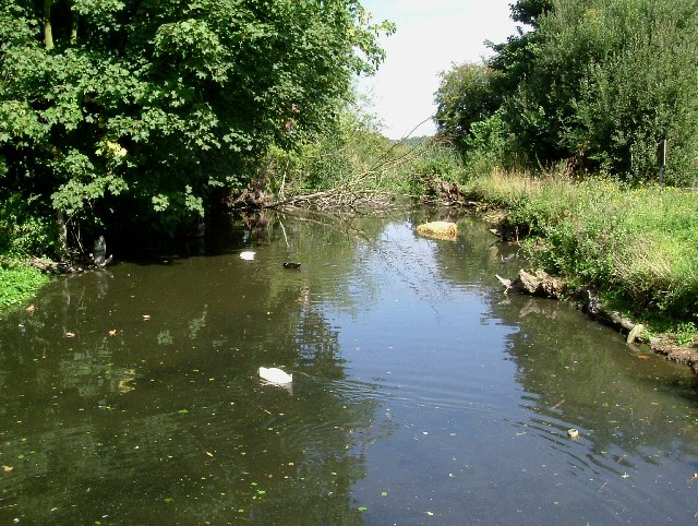
Image: © Glyn Baker Taken: 21 Aug 2005
Not every pub has a medieval moat protecting its car park. This one would discourage anyone from crossing it who didn’t want to get decidedly smelly! The medieval manor house was converted into a pub in the early 1980’s as the Sir Henry Gurnett (a former resident) it has been through several hands since then and is now “Henry’s”.
Images are licensed for reuse under creativecommons.org/licenses/by-sa/2.0
Image Location
Latitude
51.513508
Longitude
0.251085