Mendalgief Road houses, Newport
Introduction
The photograph on this page of Mendalgief Road houses, Newport by Jaggery as part of the Geograph project.
The Geograph project started in 2005 with the aim of publishing, organising and preserving representative images for every square kilometre of Great Britain, Ireland and the Isle of Man.

There are currently over 7.5m images from over 14,400 individuals and you can help contribute to the project by visiting https://www.geograph.org.uk
Mendalgief Road houses, Newport
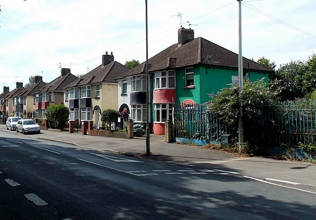
Image: © Jaggery Taken: 12 Jul 2014
More than 500 metres from the northern end of Mendalgief Road, these are the first houses on this side of the road. Behind the camera is a derelict former factory site. Part of the site fencing is on the right.
Images are licensed for reuse under creativecommons.org/licenses/by-sa/2.0
Image Location
Latitude
51.573146
Longitude
-2.994717