Arthur Close, Newport
Introduction
The photograph on this page of Arthur Close, Newport by Jaggery as part of the Geograph project.
The Geograph project started in 2005 with the aim of publishing, organising and preserving representative images for every square kilometre of Great Britain, Ireland and the Isle of Man.

There are currently over 7.5m images from over 14,400 individuals and you can help contribute to the project by visiting https://www.geograph.org.uk
Arthur Close, Newport
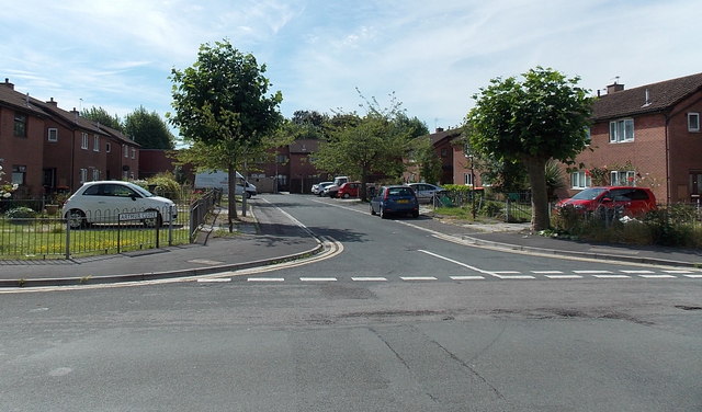
Image: © Jaggery Taken: 12 Jul 2014
Viewed from Arthur Street. Arranged along three sides of a rectangle, houses in Arthur Close were built in the early 1980s.
Images are licensed for reuse under creativecommons.org/licenses/by-sa/2.0
Image Location
Latitude
51.576202
Longitude
-2.994928