Path to Cambus Pools
Introduction
The photograph on this page of Path to Cambus Pools by Doug Lee as part of the Geograph project.
The Geograph project started in 2005 with the aim of publishing, organising and preserving representative images for every square kilometre of Great Britain, Ireland and the Isle of Man.

There are currently over 7.5m images from over 14,400 individuals and you can help contribute to the project by visiting https://www.geograph.org.uk
Path to Cambus Pools
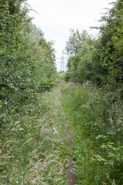
Image: © Doug Lee Taken: 26 Jun 2014
The path is still marked as part of National Cycle Network Route 76 although I expect that most people would choose to use the tarmac cycle routes 765 and 768 which follow the line of the old railway.
Images are licensed for reuse under creativecommons.org/licenses/by-sa/2.0
Image Location
Latitude
56.125679
Longitude
-3.860505