Site of former sawmills, Ashford Road
Introduction
The photograph on this page of Site of former sawmills, Ashford Road by John Baker as part of the Geograph project.
The Geograph project started in 2005 with the aim of publishing, organising and preserving representative images for every square kilometre of Great Britain, Ireland and the Isle of Man.

There are currently over 7.5m images from over 14,400 individuals and you can help contribute to the project by visiting https://www.geograph.org.uk
Site of former sawmills, Ashford Road
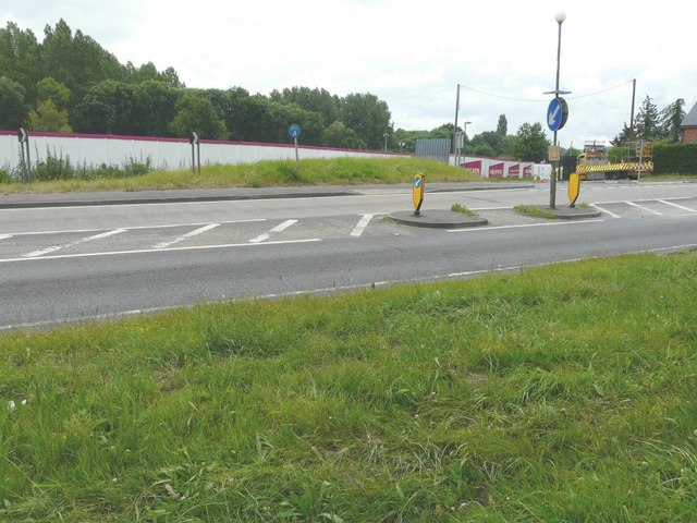
Image: © John Baker Taken: 29 Jun 2014
The hoarding hides derelict land which will become Chilham Place. This is to be a development of 1, 2, 3 and 4 bedroom apartments and houses to be built by Orbit Homes http://www.orbithomes.org.uk/search/developments/chilham-place The development is also described in the Ashford Borough Council’s planning application 12/00052/AS as “residential development of 40 dwellings comprising a mix of 26 private dwellings and 14 affordable units"
Images are licensed for reuse under creativecommons.org/licenses/by-sa/2.0
Image Location
Latitude
51.244211
Longitude
0.973864