Footbridge, Orangefield Park, Belfast (July 2014)
Introduction
The photograph on this page of Footbridge, Orangefield Park, Belfast (July 2014) by Albert Bridge as part of the Geograph project.
The Geograph project started in 2005 with the aim of publishing, organising and preserving representative images for every square kilometre of Great Britain, Ireland and the Isle of Man.

There are currently over 7.5m images from over 14,400 individuals and you can help contribute to the project by visiting https://www.geograph.org.uk
Footbridge, Orangefield Park, Belfast (July 2014)
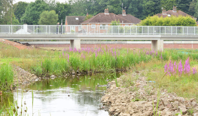
Image: © Albert Bridge Taken: 12 Jul 2014
The footbridge, across the new course of the Knock River, which replaced this one Image (December 2011). It can also be seen, during construction, in Image (October 2013). The fencing has now been removed allowing access to the riverbank but there is still some landscaping to be done.
Images are licensed for reuse under creativecommons.org/licenses/by-sa/2.0
Image Location
Latitude
54.588712
Longitude
-5.879145