Valley Road Park Flood Plain, Nottingham NG5
Introduction
The photograph on this page of Valley Road Park Flood Plain, Nottingham NG5 by David Hallam-Jones as part of the Geograph project.
The Geograph project started in 2005 with the aim of publishing, organising and preserving representative images for every square kilometre of Great Britain, Ireland and the Isle of Man.

There are currently over 7.5m images from over 14,400 individuals and you can help contribute to the project by visiting https://www.geograph.org.uk
Valley Road Park Flood Plain, Nottingham NG5
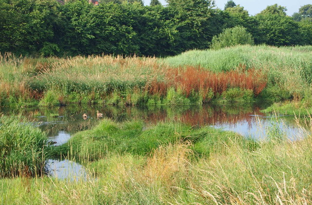
Image: © David Hallam-Jones Taken: 12 Jul 2014
This long, thin, sausage-shaped park is known as Day Brook Recreation Ground at its other end. Here, at its Mansfield Road end it is called Valley Road Park. Nonetheless the footpath, seen here passing the Day Brook flood plain (or flood fringe), is actually an almost continuous path between the Valley Rd/Mansfield Rd junction entrance and its Edwards Lane exit. Valley Road (the A6514) runs behind the tree line directly ahead.
Images are licensed for reuse under creativecommons.org/licenses/by-sa/2.0
Image Location
Latitude
52.992316
Longitude
-1.143777