Housing, Underwood
Introduction
The photograph on this page of Housing, Underwood by Ruth Sharville as part of the Geograph project.
The Geograph project started in 2005 with the aim of publishing, organising and preserving representative images for every square kilometre of Great Britain, Ireland and the Isle of Man.

There are currently over 7.5m images from over 14,400 individuals and you can help contribute to the project by visiting https://www.geograph.org.uk
Housing, Underwood
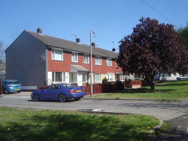
Image: © Ruth Sharville Taken: 19 Apr 2007
This terrace is at the far south west end of the village, close to the school and playing fields (neither of which are indicated on the map). The access road (bottom right) becomes the footpath to Llanwern.
Images are licensed for reuse under creativecommons.org/licenses/by-sa/2.0
Image Location


Leaflet Map data © OpenStreetMap
Latitude
51.59409
Longitude
-2.89513