Day Brook Recreation Ground, Nottingham NG5
Introduction
The photograph on this page of Day Brook Recreation Ground, Nottingham NG5 by David Hallam-Jones as part of the Geograph project.
The Geograph project started in 2005 with the aim of publishing, organising and preserving representative images for every square kilometre of Great Britain, Ireland and the Isle of Man.

There are currently over 7.5m images from over 14,400 individuals and you can help contribute to the project by visiting https://www.geograph.org.uk
Day Brook Recreation Ground, Nottingham NG5
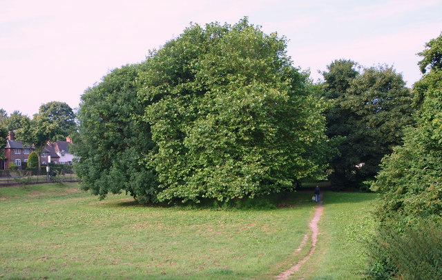
Image: © David Hallam-Jones Taken: 12 Jul 2014
With Valley Road (the A6514) on the left, this picture shows the footpath descending towards the bowling greens and an intersecting footpath that links Valley Road and Mossdale Road. At this point the brook is running along the right-hand side of the photographer (off-screen).
Images are licensed for reuse under creativecommons.org/licenses/by-sa/2.0
Image Location
Latitude
52.991697
Longitude
-1.14513