Underwood - the south west end of the estate
Introduction
The photograph on this page of Underwood - the south west end of the estate by Ruth Sharville as part of the Geograph project.
The Geograph project started in 2005 with the aim of publishing, organising and preserving representative images for every square kilometre of Great Britain, Ireland and the Isle of Man.

There are currently over 7.5m images from over 14,400 individuals and you can help contribute to the project by visiting https://www.geograph.org.uk
Underwood - the south west end of the estate
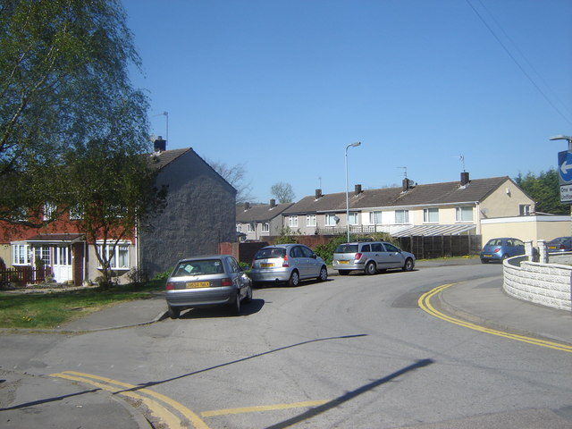
Image: © Ruth Sharville Taken: 19 Apr 2007
The whole of Underwood is one big housing estate, and those in this photo are typical. The shot shows the bend in the road close to the school (behind my left shoulder - not indicated on the map); the junction to the left is the start of a footpath to Llanwern.
Images are licensed for reuse under creativecommons.org/licenses/by-sa/2.0
Image Location


Leaflet Map data © OpenStreetMap
Latitude
51.594454
Longitude
-2.89456