Valley Road Park, Nottingham NG5
Introduction
The photograph on this page of Valley Road Park, Nottingham NG5 by David Hallam-Jones as part of the Geograph project.
The Geograph project started in 2005 with the aim of publishing, organising and preserving representative images for every square kilometre of Great Britain, Ireland and the Isle of Man.

There are currently over 7.5m images from over 14,400 individuals and you can help contribute to the project by visiting https://www.geograph.org.uk
Valley Road Park, Nottingham NG5
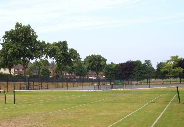
Image: © David Hallam-Jones Taken: 12 Jul 2014
These public tennis courts are sandwiched between the A6514 and Day Brook, off-screen on the right. This is a river that forms the southern boundary of the City Hospital. The dark green "portakabin" in the distance provides storage facilities for the Nottingham City Pétanque Club.
Images are licensed for reuse under creativecommons.org/licenses/by-sa/2.0
Image Location
Latitude
52.988413
Longitude
-1.151005