City Hospital Vicinity, Nottingham NG5
Introduction
The photograph on this page of City Hospital Vicinity, Nottingham NG5 by David Hallam-Jones as part of the Geograph project.
The Geograph project started in 2005 with the aim of publishing, organising and preserving representative images for every square kilometre of Great Britain, Ireland and the Isle of Man.

There are currently over 7.5m images from over 14,400 individuals and you can help contribute to the project by visiting https://www.geograph.org.uk
City Hospital Vicinity, Nottingham NG5
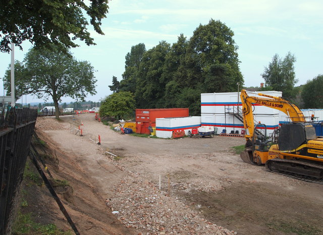
Image: © David Hallam-Jones Taken: 12 Jul 2014
A digger on what was, until recently, an area of grass that is part of the Valley Road Recreation Ground. This is sandwiched between the A6514 and the Day Brook (< a stream). E.U. monies are currently being spent on landscaping sections of the park and altering the course of the brook. The brook lies 30 metres behind the digger and the tall trees. The vehicles seen ahead are circulating around the Hucknall Road/Valley Road roundabout in the vicinity of the City Hospital. The Day Brook serves as one of the boundaries of the City Hospital.
Images are licensed for reuse under creativecommons.org/licenses/by-sa/2.0
Image Location
Latitude
52.987297
Longitude
-1.158475