Bromley House Library Meridian Line
Introduction
The photograph on this page of Bromley House Library Meridian Line by Peter Barr as part of the Geograph project.
The Geograph project started in 2005 with the aim of publishing, organising and preserving representative images for every square kilometre of Great Britain, Ireland and the Isle of Man.

There are currently over 7.5m images from over 14,400 individuals and you can help contribute to the project by visiting https://www.geograph.org.uk
Bromley House Library Meridian Line
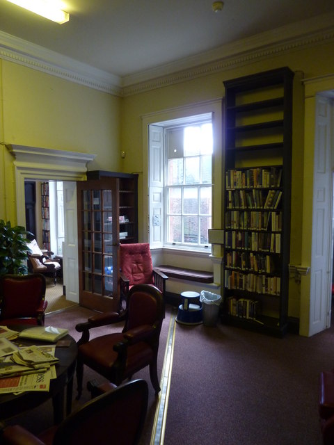
Image: © Peter Barr Taken: 9 Jul 2014
The line lies accurately north / south. It was first laid out in the 1820s, then replaced in brass in 1834, and designed to work with a board outside the window so that a beam of sunlight would fall on the centre line of the brass strip at precisely local apparent noon, which could have been used to set clocks in Nottingham.
Images are licensed for reuse under creativecommons.org/licenses/by-sa/2.0
Image Location
Latitude
52.953094
Longitude
-1.15244