View towards Newhouse Barton
Introduction
The photograph on this page of View towards Newhouse Barton by Robin Stott as part of the Geograph project.
The Geograph project started in 2005 with the aim of publishing, organising and preserving representative images for every square kilometre of Great Britain, Ireland and the Isle of Man.

There are currently over 7.5m images from over 14,400 individuals and you can help contribute to the project by visiting https://www.geograph.org.uk
View towards Newhouse Barton
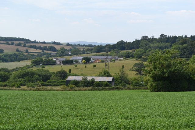
Image: © Robin Stott Taken: 7 Jul 2013
Newhouse Barton looks like another farmhouse and barn conversion. The shallow valley of the Am Brook rises gently beyond it. The railway between Newton Abbot and Totnes runs in front of the unnamed shed, below centre.
Images are licensed for reuse under creativecommons.org/licenses/by-sa/2.0
Image Location
Latitude
50.472715
Longitude
-3.659001