Sparkwell Footpath No4
Introduction
The photograph on this page of Sparkwell Footpath No4 by jeff collins as part of the Geograph project.
The Geograph project started in 2005 with the aim of publishing, organising and preserving representative images for every square kilometre of Great Britain, Ireland and the Isle of Man.

There are currently over 7.5m images from over 14,400 individuals and you can help contribute to the project by visiting https://www.geograph.org.uk
Sparkwell Footpath No4
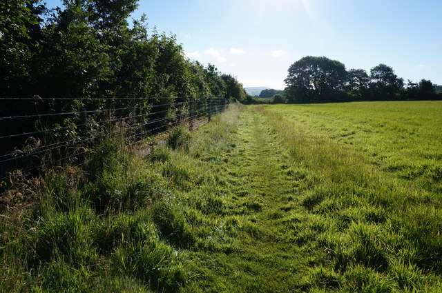
Image: © jeff collins Taken: 9 Jul 2014
Seen here looking East just after leaving Sparkwell Bridge. Just the other side of the fence is a small path used by rail engineers to gain access to the track hidden below the trees.
Images are licensed for reuse under creativecommons.org/licenses/by-sa/2.0
Image Location
Latitude
50.394833
Longitude
-4.001556