Kings Bowling Club pavilion and green, Torquay
Introduction
The photograph on this page of Kings Bowling Club pavilion and green, Torquay by Jaggery as part of the Geograph project.
The Geograph project started in 2005 with the aim of publishing, organising and preserving representative images for every square kilometre of Great Britain, Ireland and the Isle of Man.

There are currently over 7.5m images from over 14,400 individuals and you can help contribute to the project by visiting https://www.geograph.org.uk
Kings Bowling Club pavilion and green, Torquay
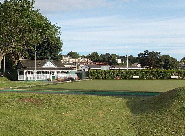
Image: © Jaggery Taken: 6 Jul 2014
Near the corner of Torbay Road and Rathmore Road. Torquay railway station is nearby.
Images are licensed for reuse under creativecommons.org/licenses/by-sa/2.0
Image Location
Latitude
50.460661
Longitude
-3.541499