Traffic counting cables cross Wenlock Road, Bridgnorth
Introduction
The photograph on this page of Traffic counting cables cross Wenlock Road, Bridgnorth by Jaggery as part of the Geograph project.
The Geograph project started in 2005 with the aim of publishing, organising and preserving representative images for every square kilometre of Great Britain, Ireland and the Isle of Man.

There are currently over 7.5m images from over 14,400 individuals and you can help contribute to the project by visiting https://www.geograph.org.uk
Traffic counting cables cross Wenlock Road, Bridgnorth
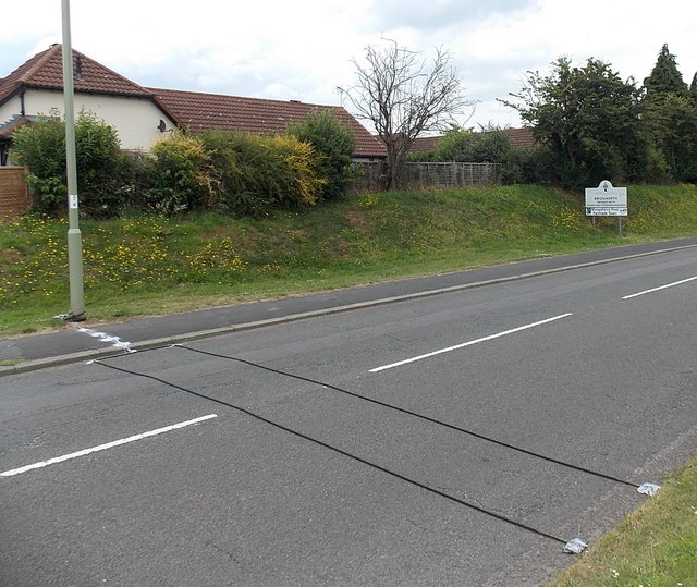
Image: © Jaggery Taken: 2 Jul 2014
No longer in use, two thin black cables counted the vehicles passing over them and sent the data to a roadside box that used to be chained to the lamppost. The Bridgnorth boundary sign is on the right.
Images are licensed for reuse under creativecommons.org/licenses/by-sa/2.0
Image Location
Latitude
52.537025
Longitude
-2.436503