Bathgate Lower railway station (site)
Introduction
The photograph on this page of Bathgate Lower railway station (site) by Nigel Thompson as part of the Geograph project.
The Geograph project started in 2005 with the aim of publishing, organising and preserving representative images for every square kilometre of Great Britain, Ireland and the Isle of Man.

There are currently over 7.5m images from over 14,400 individuals and you can help contribute to the project by visiting https://www.geograph.org.uk
Bathgate Lower railway station (site)
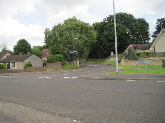
Image: © Nigel Thompson Taken: 5 Jul 2014
Opened in 1856 as a branch from the Monkland Railways' line at Blackstone, this station closed to passengers as early as 1930, and closed completely in 1963. View south east across the former level crossing, with the platforms being somewhere near the course of the minor road opposite. The main building was somewhere near where the tree in the centre of the image is. As can be seen, no trace appears to remain.
Images are licensed for reuse under creativecommons.org/licenses/by-sa/2.0
Image Location
Latitude
55.904386
Longitude
-3.650158