Bourton Road, Totnes
Introduction
The photograph on this page of Bourton Road, Totnes by Jaggery as part of the Geograph project.
The Geograph project started in 2005 with the aim of publishing, organising and preserving representative images for every square kilometre of Great Britain, Ireland and the Isle of Man.

There are currently over 7.5m images from over 14,400 individuals and you can help contribute to the project by visiting https://www.geograph.org.uk
Bourton Road, Totnes
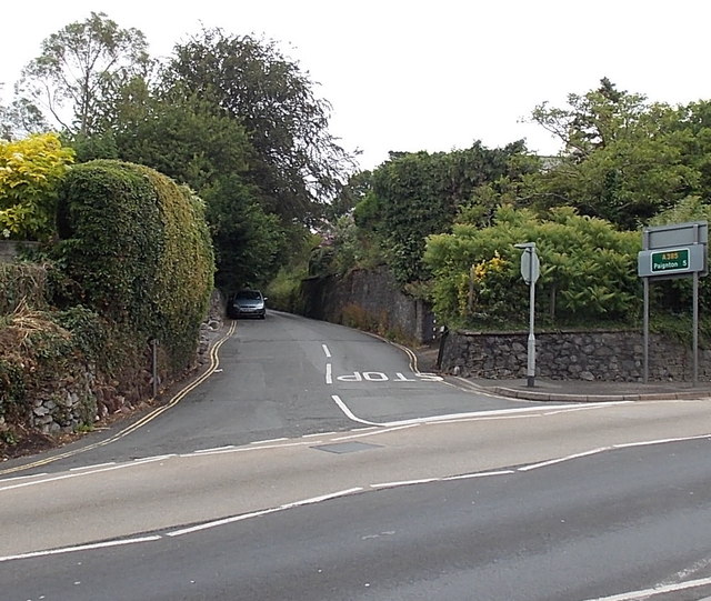
Image: © Jaggery Taken: 5 Jul 2014
Bourton Road climbs away from the A385 Bridgetown Hill. Ahead is Bourton Lane which leads to Bourton, Bourton Bridge and Lower Bourton. The sign on the right shows A385 Paignton 5 (miles).
Images are licensed for reuse under creativecommons.org/licenses/by-sa/2.0
Image Location


Leaflet Map data © OpenStreetMap
Latitude
50.432441
Longitude
-3.676602