Foundations on edge of Great Strickland?
Introduction
The photograph on this page of Foundations on edge of Great Strickland? by Karl and Ali as part of the Geograph project.
The Geograph project started in 2005 with the aim of publishing, organising and preserving representative images for every square kilometre of Great Britain, Ireland and the Isle of Man.

There are currently over 7.5m images from over 14,400 individuals and you can help contribute to the project by visiting https://www.geograph.org.uk
Foundations on edge of Great Strickland?
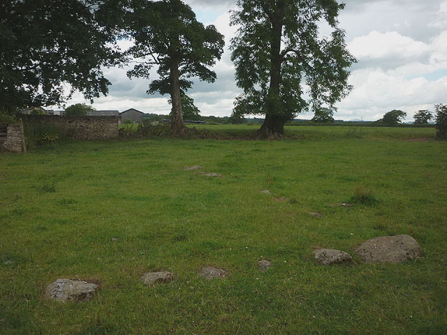
Image: © Karl and Ali Taken: 6 Jul 2014
The map seems to show a rectangular structure of some kind hereabouts. The embedded stones may have been the foundations of a building (barn?) or some kind of enclosure.
Images are licensed for reuse under creativecommons.org/licenses/by-sa/2.0
Image Location
Latitude
54.600792
Longitude
-2.681664