Bridleway to Thrimby
Introduction
The photograph on this page of Bridleway to Thrimby by Karl and Ali as part of the Geograph project.
The Geograph project started in 2005 with the aim of publishing, organising and preserving representative images for every square kilometre of Great Britain, Ireland and the Isle of Man.

There are currently over 7.5m images from over 14,400 individuals and you can help contribute to the project by visiting https://www.geograph.org.uk
Bridleway to Thrimby
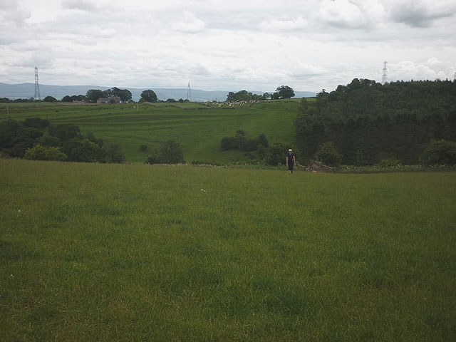
Image: © Karl and Ali Taken: 6 Jul 2014
A little-used route over the railway and down to the River Leith.
Images are licensed for reuse under creativecommons.org/licenses/by-sa/2.0
Image Location
Latitude
54.590809
Longitude
-2.69883