Clare Road, Cwmparc
Introduction
The photograph on this page of Clare Road, Cwmparc by Jaggery as part of the Geograph project.
The Geograph project started in 2005 with the aim of publishing, organising and preserving representative images for every square kilometre of Great Britain, Ireland and the Isle of Man.

There are currently over 7.5m images from over 14,400 individuals and you can help contribute to the project by visiting https://www.geograph.org.uk
Clare Road, Cwmparc
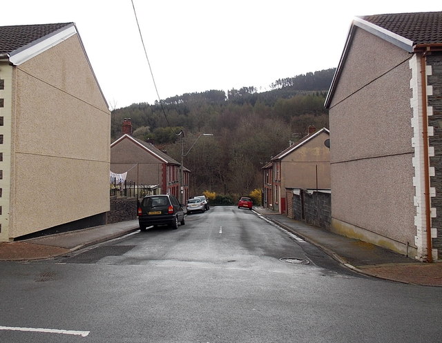
Image: © Jaggery Taken: 4 Apr 2014
From Lower Terrace along Clare Road towards the fence at the edge of a stream, Nant Cwm-parc.
Images are licensed for reuse under creativecommons.org/licenses/by-sa/2.0
Image Location
Latitude
51.654206
Longitude
-3.512562