Farmland and Mooredge Farm
Introduction
The photograph on this page of Farmland and Mooredge Farm by Philip Halling as part of the Geograph project.
The Geograph project started in 2005 with the aim of publishing, organising and preserving representative images for every square kilometre of Great Britain, Ireland and the Isle of Man.

There are currently over 7.5m images from over 14,400 individuals and you can help contribute to the project by visiting https://www.geograph.org.uk
Farmland and Mooredge Farm
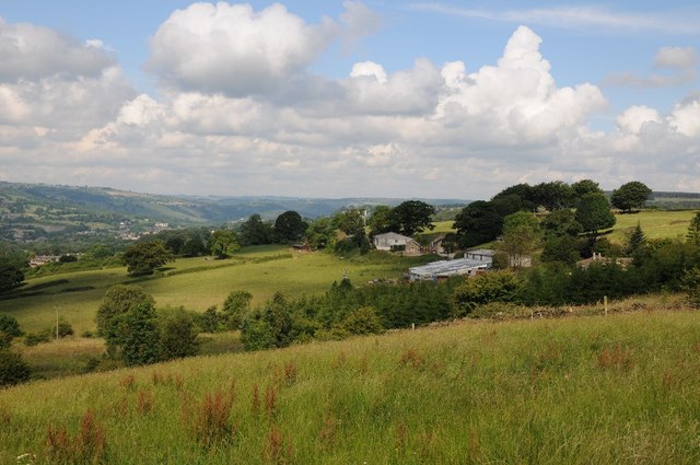
Image: © Philip Halling Taken: 8 Jul 2014
Farmland and Mooredge Farm viewed from Knabhall Lane, above Tansley.
Images are licensed for reuse under creativecommons.org/licenses/by-sa/2.0
Image Location
Latitude
53.137299
Longitude
-1.505782