Clarendon Road, Watford
Introduction
The photograph on this page of Clarendon Road, Watford by Stephen McKay as part of the Geograph project.
The Geograph project started in 2005 with the aim of publishing, organising and preserving representative images for every square kilometre of Great Britain, Ireland and the Isle of Man.

There are currently over 7.5m images from over 14,400 individuals and you can help contribute to the project by visiting https://www.geograph.org.uk
Clarendon Road, Watford
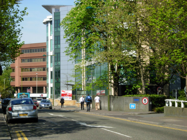
Image: © Stephen McKay Taken: 19 Apr 2007
Clarendon Road nowadays consists primarily of large modern office blocks. It is also the main thoroughfare connecting the town centre with Watford Junction station, which can be seen in the background.
Images are licensed for reuse under creativecommons.org/licenses/by-sa/2.0
Image Location
Latitude
51.66264
Longitude
-0.397416