Sanctuary marker stone
Introduction
The photograph on this page of Sanctuary marker stone by Gordon Hatton as part of the Geograph project.
The Geograph project started in 2005 with the aim of publishing, organising and preserving representative images for every square kilometre of Great Britain, Ireland and the Isle of Man.

There are currently over 7.5m images from over 14,400 individuals and you can help contribute to the project by visiting https://www.geograph.org.uk
Sanctuary marker stone
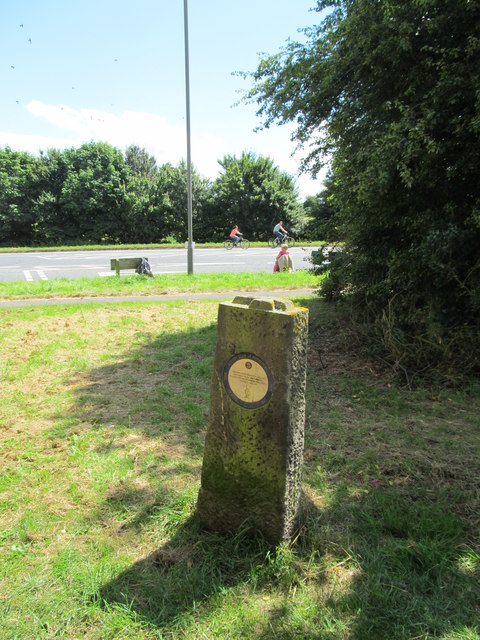
Image: © Gordon Hatton Taken: 5 Jul 2014
Close to the by pass, this modern stone marks the site of a former sanctuary stone at a distance of a league from Ripon Minster. The only original stone is at Sharow in SE3271 and was in use for some 600 years from the tenth century.
Images are licensed for reuse under creativecommons.org/licenses/by-sa/2.0
Image Location
Latitude
54.124089
Longitude
-1.519061