Looking east-southeast along Addington Road
Introduction
The photograph on this page of Looking east-southeast along Addington Road by John Baker as part of the Geograph project.
The Geograph project started in 2005 with the aim of publishing, organising and preserving representative images for every square kilometre of Great Britain, Ireland and the Isle of Man.

There are currently over 7.5m images from over 14,400 individuals and you can help contribute to the project by visiting https://www.geograph.org.uk
Looking east-southeast along Addington Road
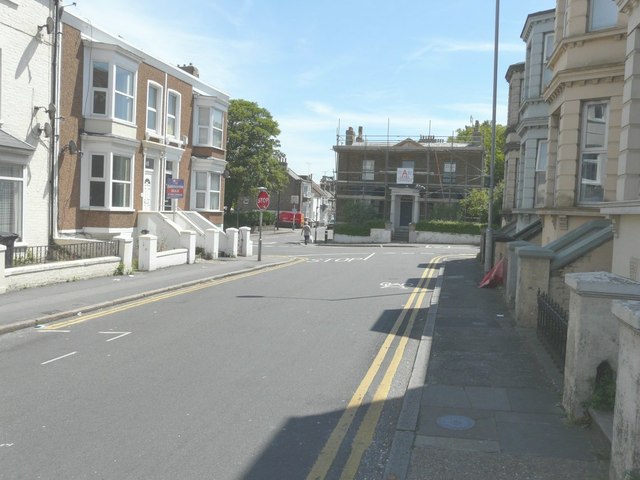
Image: © John Baker Taken: 22 Jun 2014
Towards the house, with scaffolding on its frontage and side, which is number 58 Victoria Road. Planning permission has been granted by Thanet District Council under application number F/TH/14/0088 for the “installation of replacement window”. This is the centre window of the three on the first floor.
Images are licensed for reuse under creativecommons.org/licenses/by-sa/2.0
Image Location
Latitude
51.38651
Longitude
1.387465