The Dighty Burn , Monifieth
Introduction
The photograph on this page of The Dighty Burn , Monifieth by AlastairG as part of the Geograph project.
The Geograph project started in 2005 with the aim of publishing, organising and preserving representative images for every square kilometre of Great Britain, Ireland and the Isle of Man.

There are currently over 7.5m images from over 14,400 individuals and you can help contribute to the project by visiting https://www.geograph.org.uk
The Dighty Burn , Monifieth
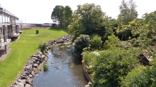
Image: © AlastairG Taken: 8 Jul 2014
The view downstream from the road bridge with a very recent housing development on the site of former industrial premises.
Images are licensed for reuse under creativecommons.org/licenses/by-sa/2.0
Image Location
Latitude
56.476768
Longitude
-2.834572