Monifieth High School
Introduction
The photograph on this page of Monifieth High School by AlastairG as part of the Geograph project.
The Geograph project started in 2005 with the aim of publishing, organising and preserving representative images for every square kilometre of Great Britain, Ireland and the Isle of Man.

There are currently over 7.5m images from over 14,400 individuals and you can help contribute to the project by visiting https://www.geograph.org.uk
Monifieth High School
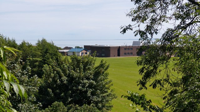
Image: © AlastairG Taken: 8 Jul 2014
The school seen from the Seven Arches viaduct. Tentsmuir forest in Fife can just be made out across the Tay estuary.
Images are licensed for reuse under creativecommons.org/licenses/by-sa/2.0
Image Location
Latitude
56.479066
Longitude
-2.840143