Six Acres
Introduction
The photograph on this page of Six Acres by Simon Carey as part of the Geograph project.
The Geograph project started in 2005 with the aim of publishing, organising and preserving representative images for every square kilometre of Great Britain, Ireland and the Isle of Man.

There are currently over 7.5m images from over 14,400 individuals and you can help contribute to the project by visiting https://www.geograph.org.uk
Six Acres
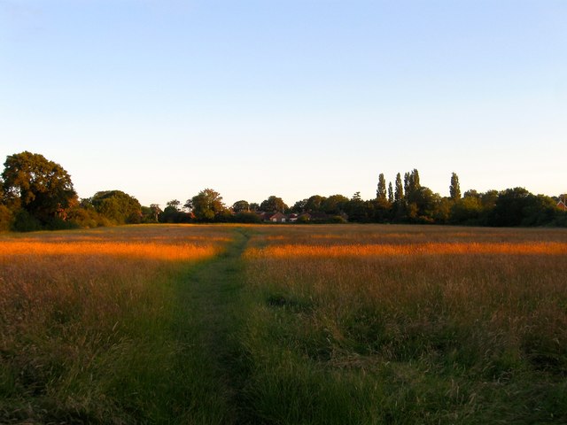
Image: © Simon Carey Taken: 6 Jul 2014
The name of the field according to Hurstpierpoint's 1842 tithe map that lies to the south of Image and north of Image The path is not a public footpath though it seems to be regularly used by locals to walk around the fields to the immediate west of the village.
Images are licensed for reuse under creativecommons.org/licenses/by-sa/2.0
Image Location
Latitude
50.938415
Longitude
-0.184603